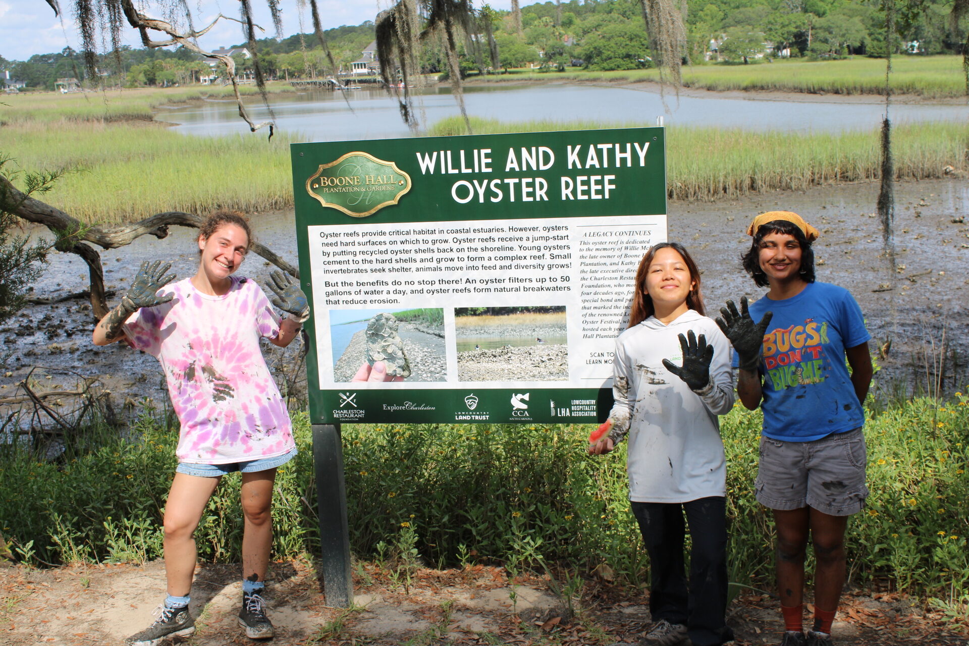
Have you ever wondered what happens after Lowcountry Land Trust conserves a property? With 552 properties protected across 17 South Carolina counties, Lowcountry Land Trust is one of the most impactful local land trusts in the country.
To comply with the Land Trust Accreditation Commission’s standards and to ensure conservation easement terms are upheld, Lowcountry Land Trust’s stewardship team is primarily responsible for monitoring each of its protected lands annually. This time-consuming yet worthwhile work gives us insight into how each property enhances the ecosystem and identifies potential environmental threats like pollution, conservation value impacts like clear-cutting, or unauthorized construction.
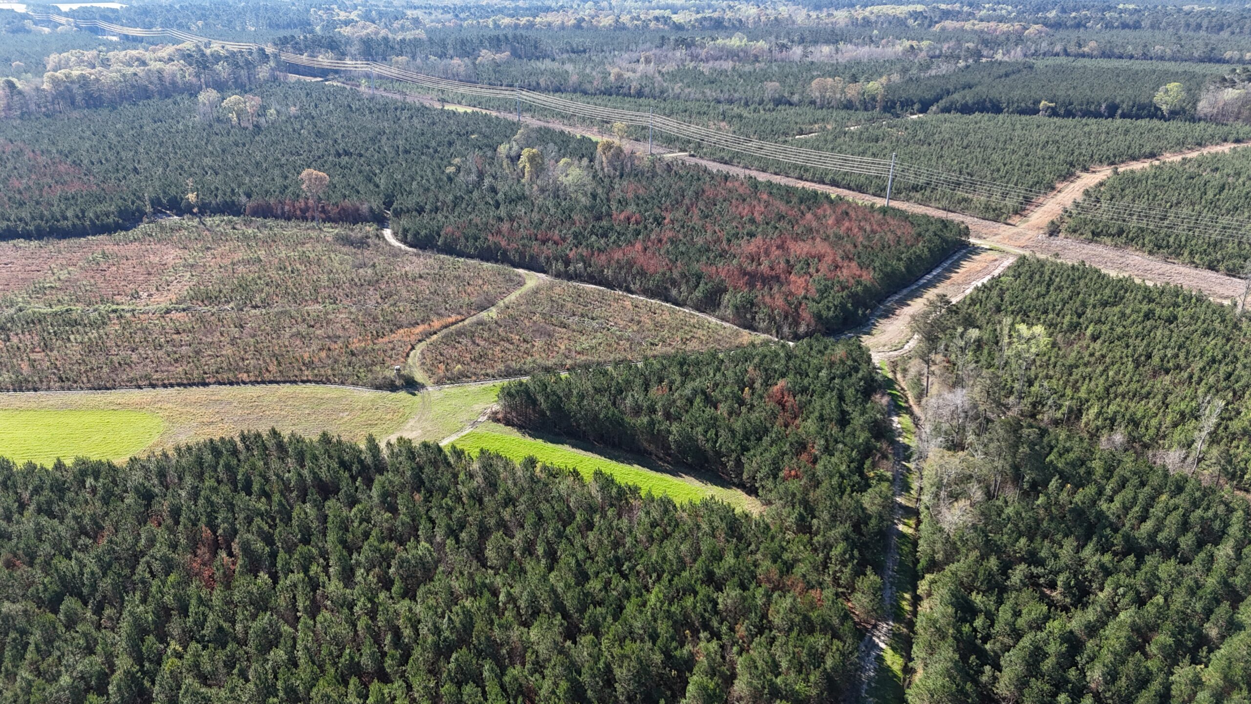
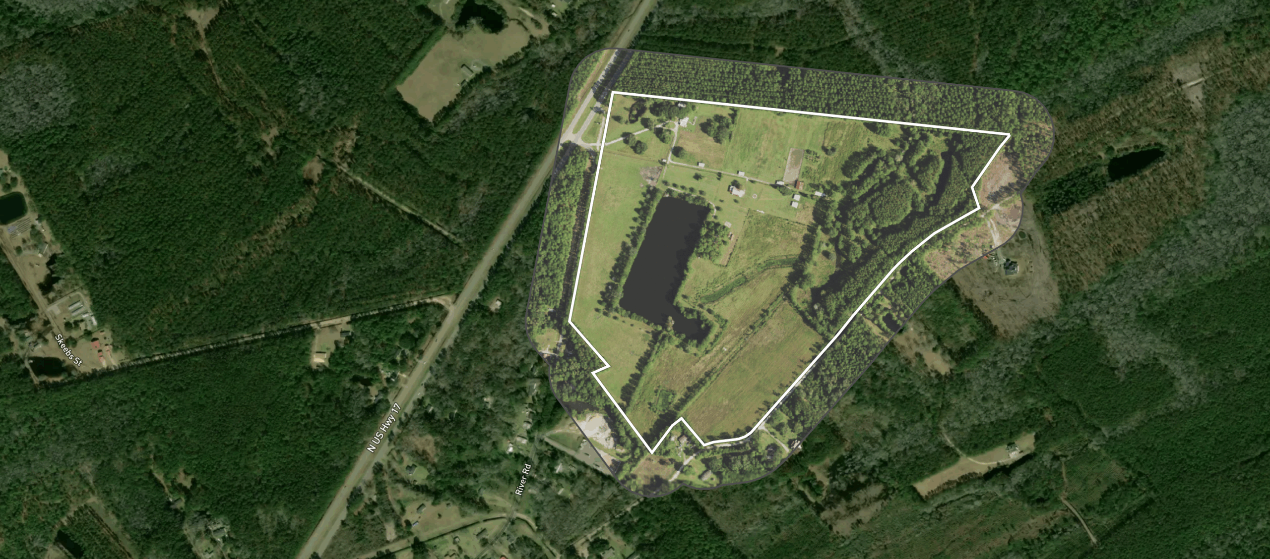
Lowcountry Land Trust’s protected property portfolio increases with each new conservation win, and its current two-person stewardship team rises to the occasion with dedication and creativity for efficient, accurate monitoring. Previously, staff would monitor each property by vehicle, boat, and/or on foot, but with the help of technology, the stewardship team now also utilizes drones, satellite, and aerial monitoring tools, saving valuable time and resources.
Two of Lowcountry Land Trust’s team members, Hunter Allen (Land Protection Project Manager) and Krista Schmidt (Stewardship Associate), are FAA-licensed drone pilots. Thanks to Mary Adkins and Diana Reed’s generous donation of a new drone, drone monitoring is now a regular land stewardship practice. Drone footage is ideal for annual monitoring, as it allows staff to document the entire property in significantly less time, while still physically at the site.

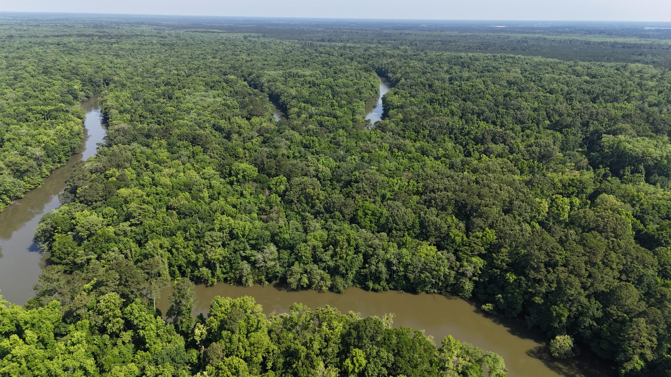
In other instances, the stewardship team utilizes a remote monitoring program called Lens to obtain satellite images of a property. When selecting a property ideal for satellite monitoring, considerations are made such as how long it has been since the last in-person monitoring, the quality of the imagery available, and how far away or how large the property is. Fun fact: the most distant property from our office in Charleston is Audubon’s Silver Bluff Sanctuary at 150 miles, or 2.5 hours, away. When choosing to utilize Lens, the stewardship team still communicates closely with the landowner, confirming if any significant changes to the property would warrant an in-person visit, such as a new structure that needs to be measured and documented.
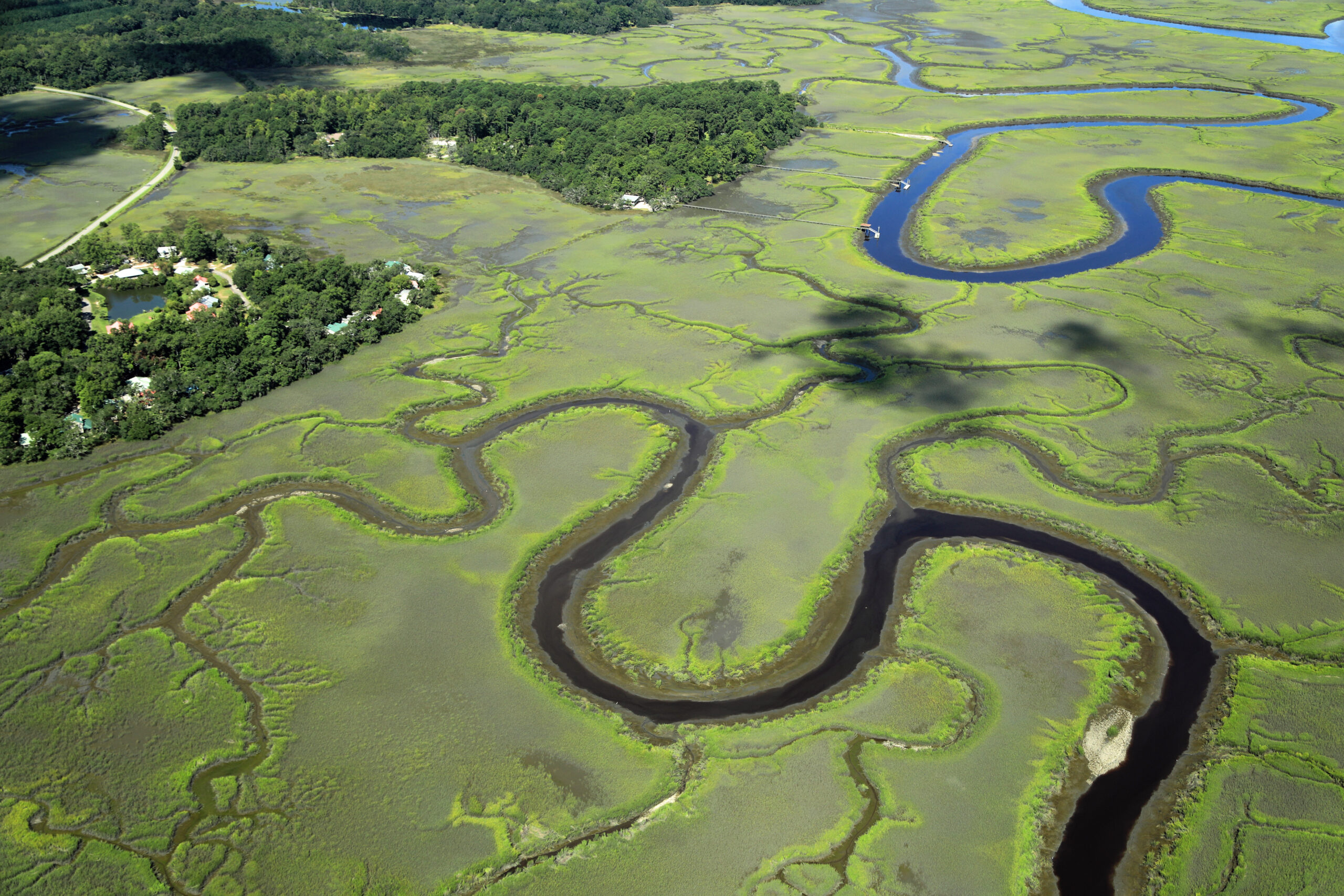
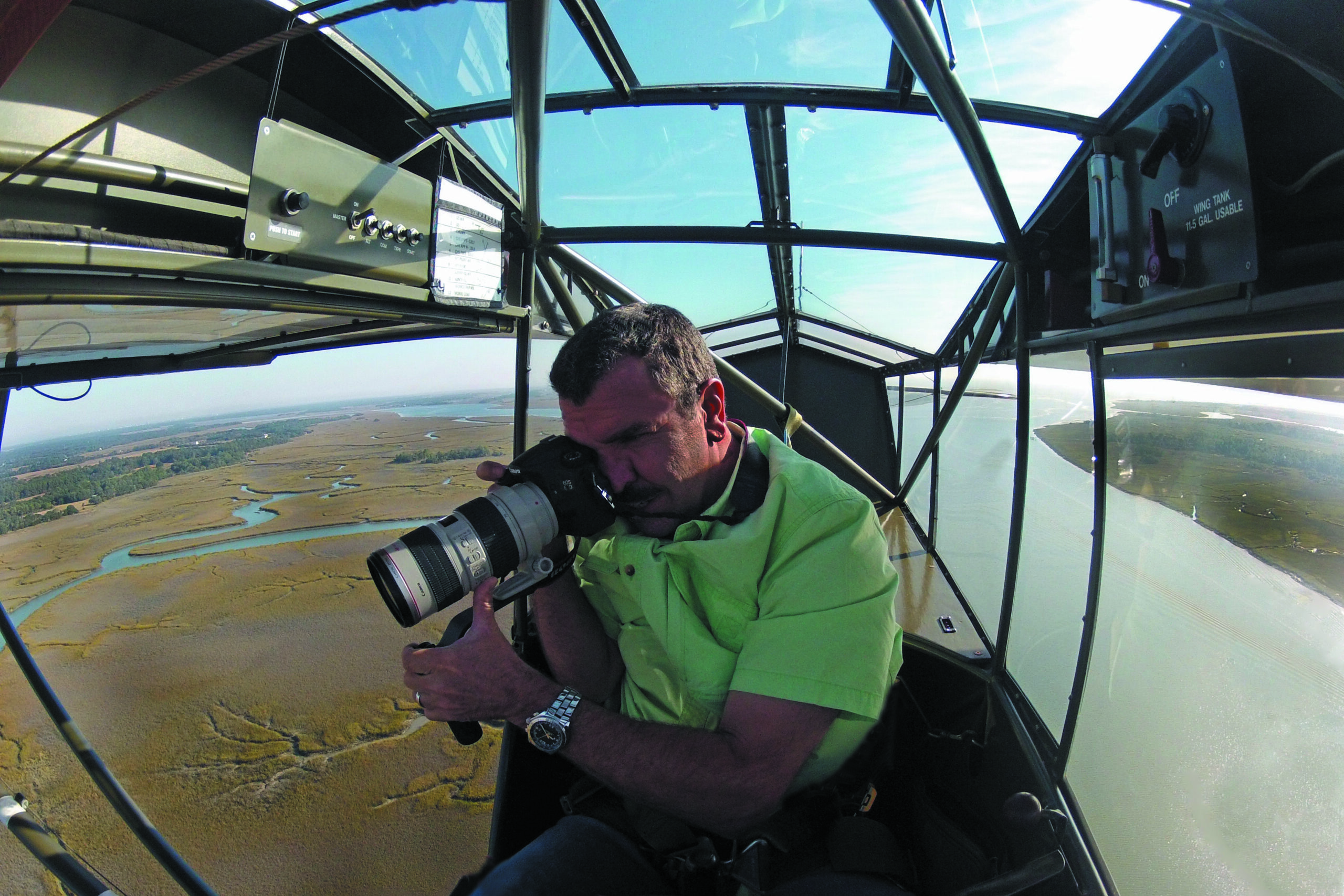
Aerial monitoring is another asset to efficient and effective monitoring. For over ten years, Jon Engle has partnered with Lowcountry Land Trust to donate his time and expertise as a pilot and photographer to provide monitoring to the stewardship team. With his small personal airplane and experience as a retired Air Force pilot, he can evaluate properties that are hard to reach or difficult to monitor from the ground. As an added perk, Jon produces photos of the land that beautifully showcase to our supporters the landscapes and waterways we tirelessly protect and perpetually steward.

Effective stewardship of conservation easements and fee-simple holdings supports our and landowners’ promise to the Lowcountry’s beloved ecosystems and communities. Four decades after its founding,Lowcountry Land Trust is proud to have a legacy of sound stewardship and grateful to the staff, donors, and technology that will continue to serve the landscapes and waterways that make the Lowcountry so special. Learn more about our dedicated stewardship team here.