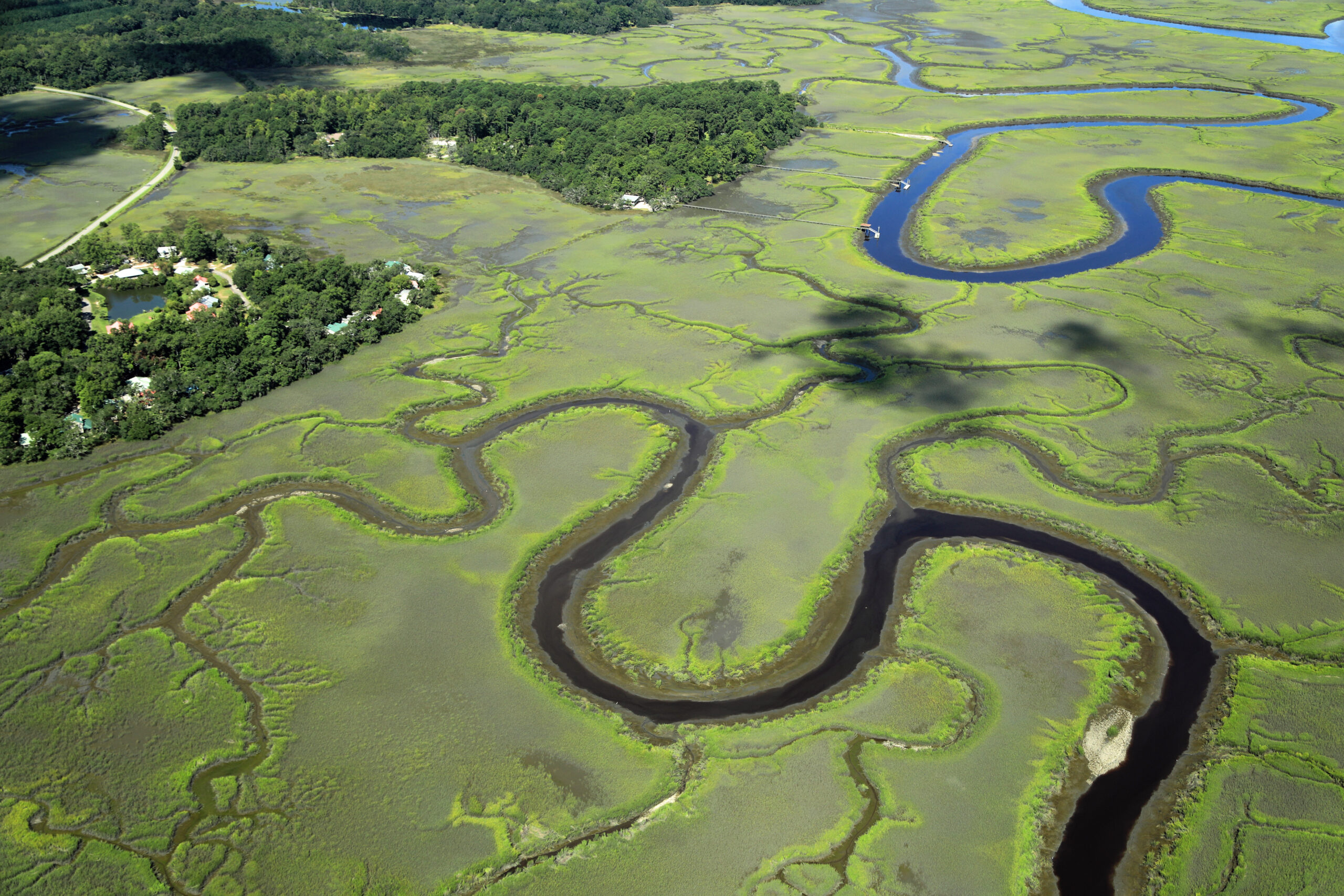
Summertime is here, and many Lowcountry residents are spending time outdoors in the landscapes and waterways that are integral to our way of life. When the sun is shining, and the water is the perfect temperature for swimming, paddling, and boating, it’s important to remember that the ability to enjoy iconic views and recreate in clean water is the direct result of layers of local conservation efforts. Lowcountry Land Trust and its partners work to protect landscapes and waterways that preserve this way of life. Some methods are private conservation easements that provide public benefit, and others are collaborative public-access projects. When combined, we ensure that residents’ viewsheds and water quality are conserved and enhanced across the region, forever.
This work often helps preserve scenic vistas that residents pass by daily, whether by boat, paddle, or car, without even realizing it. This is true for Ben Sawyer Boulevard between Mount Pleasant and Sullivan’s Island, where Lowcountry Land Trust protects the Conch Creek Islands, 398 acres of highlands and salt marsh previously at risk of development, but now an iconic viewshed, protected forever for beachgoers and residents. Just north of Isle of Palms, Lowcountry Land Trust and private landowners worked together to protect Little Goat Island, a 28-acre island surrounded by 393 acres of salt marsh, preserving the viewshed of the Intracoastal Waterway for homeowners, boaters, paddlers, and daily commuters over the IOP connector.
Other recently completed conservation easements in McClellanville protect a total of 1,440 acres of scenic vistas along the highly traveled North Highway 17, as well as the viewsheds and water quality of the South Santee River and the Intracoastal Waterway. On the Hampton/Jasper county line, the protection of the 664-acre Garnett Tract in the Savannah drainage area promotes public health by safeguarding drinking water and overall water quality for local residents in the Beaufort and Jasper communities. The benefits of these projects are woven into the daily lives of residents, who enjoy undeveloped views and clean water enhanced by strategically protected land throughout the coastal plain.
Local conservation partners’ focus on creating public water access, a key conservation component, has led to something exciting and unique to our coastal region: an emerging “blue trail” linking key existing and planned paddling access sites. In partnership with Charleston County Park & Recreation Commission, the future Simmons Creek County Park will connect residents to the future Wallace Creek County Park, and the Caw Caw Interpretive Center (which the Land Trust helped expand by 35 acres in 2025), and other locations along the Stono River and Rantowles Creek via paddle-navigable waterways.
Other established sites protected forever to enjoy the water include:
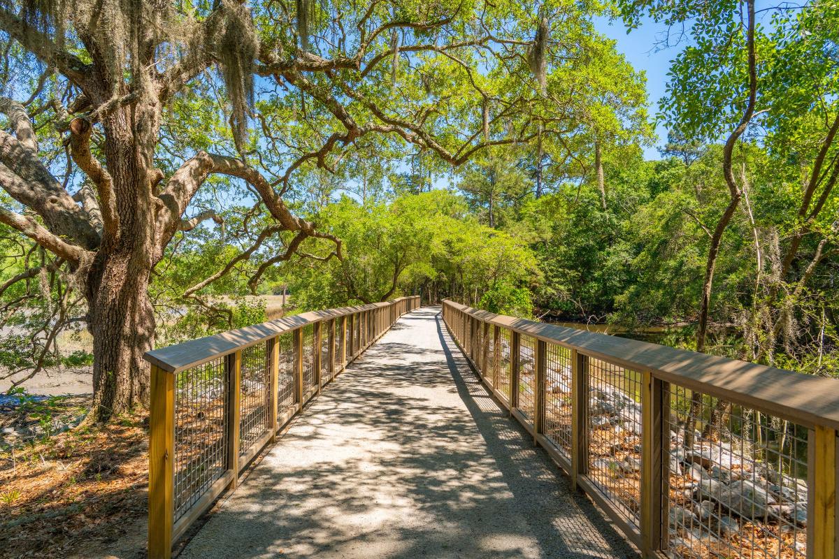
Station 19 at Sullivans Island, Marsh View Trail, Horlbeck Creek at Boone Hall Plantation, parts of the shore along the Edisto River Wildlife Management Area, the soon-to-open Meyer Lake Heritage Preserve and WMA, and Old Towne Creek County Park, opening next week on the former Ashem Farm property where the Lowcountry Center for Conservation also resides.
Conservation takes many forms, and while you’re out enjoying another Lowcountry summer, one thing is certain – the view you enjoy, and the clean water you can recreate in exists, in part, thanks to strategic conservation efforts by many local partners.