Everyone loves an interesting map!
If you’ve been to an event or worked with us on an easement in the past few years, chances are you’ve seen a map I’ve made. I started working with maps because I wanted to learn more about the world around me. They allow me to pair my interest in computers and data with a curiosity of the natural world, enabling me to gain a more integrated understanding different types of ecosystems, wildlife, and human changes to the land. This pairing really took off while I was a graduate student at the College of Charleston studying how to expand the Student Garden at Dixie Plantation so that it made better use of soils, water, and better fit the needs of the students and volunteers that worked there. Maps served as a visual that showed what the future of the Garden could look like and let us gather input back to refine the design. During this time, I became an intern at Lowcountry Land Trust (LLT) to further develop my skills in mapping and Geographic Information Systems (GIS). As an intern, I learned the basics of conservation easements, the Lowcountry landscape, and how powerful a tool GIS is for researching properties and understanding their ecosystems through data describing hydrology, types of habitats, endangered species, and more. As I became more experienced, I helped expand the map making repertoire at LLT and came on full time upon graduation. Mapping at LLT has evolved a lot over just the past few years. New datasets, techniques, and software platforms are making it easier and more accessible to all. Here we’ll take you through a brief tour of how we use maps and GIS at LLT, which is used throughout all of our program areas.
Conserving and Stewarding the Land
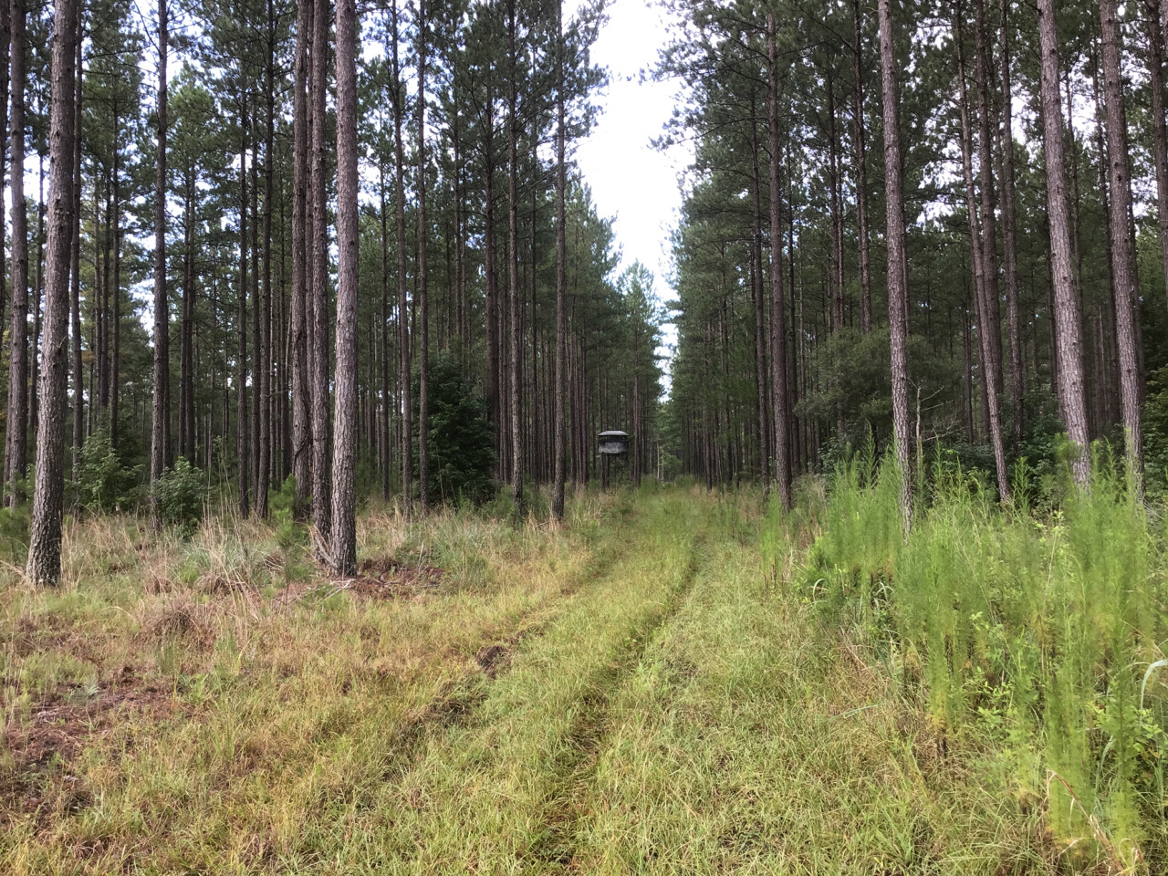
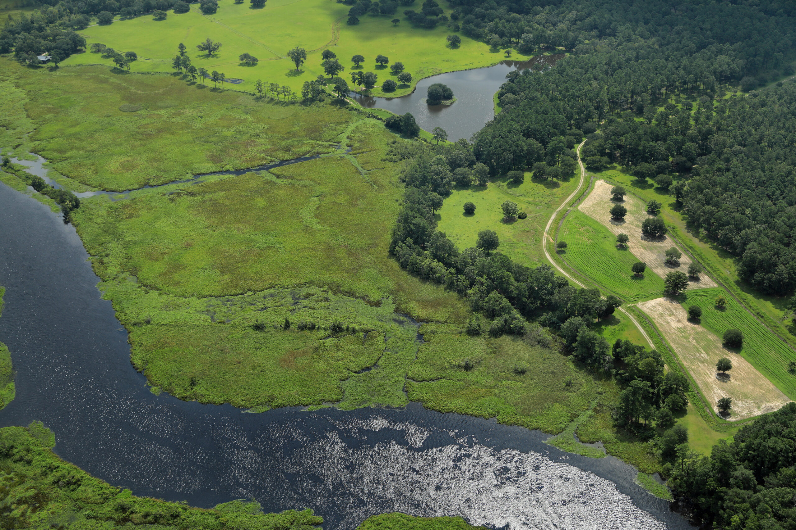
Our work begins with a landowner’s desire to conserve the place they love. We use GIS to visualize what they want for their land, what makes those places special, and how they want to conserve it for future generations. With this foundation, we create maps that showcase their property and capture the conservation values and associated public benefits it provides. We visit the property to document the boundaries, ecological features, and existing structures (such as houses, roads, sheds, etc…). These data are incorporated into a Baseline Documentation Report which captures the condition of the property when the conservation easement is granted.

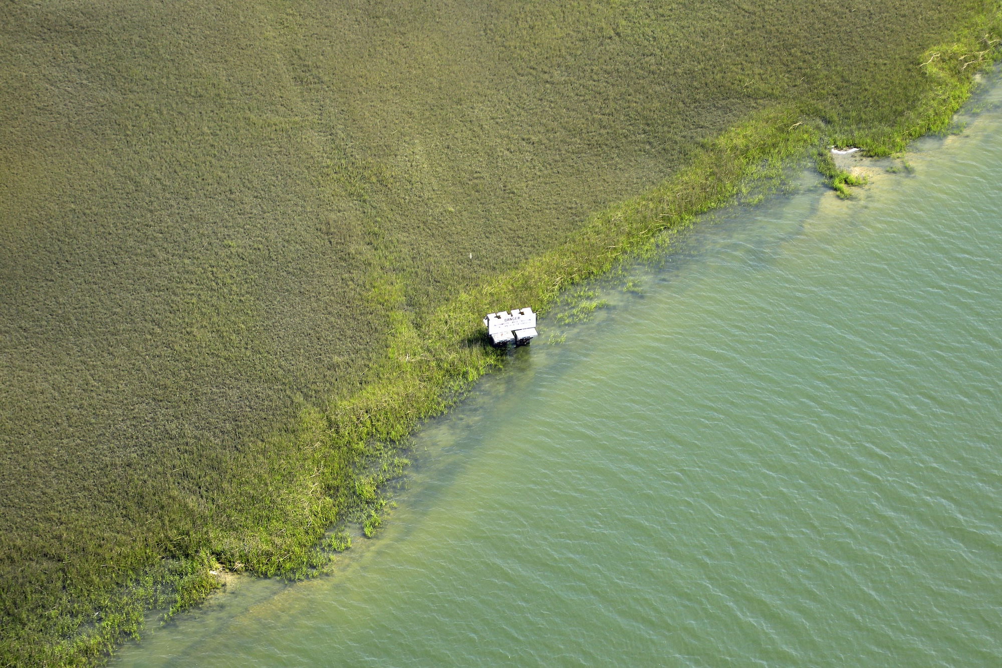
Conservation easements are forever. Land Trust staff are required by law to have regular site visits to see that the conservation values remain intact, upholding the original intent of the easement. We use online and mobile platforms to document these annual visits, taking photos of the landscape to show changes over time, as well as photos of any new or improved structures. We also track our routes on each of our visits to ensure good coverage of the property.
Working with Landowners
Our responsibility to the land does not end with the easement donation and the yearly visit. Stewardship of our protected properties is based on building partnerships with our landowners. We work with landowners to get a shared understanding of their landscape and management philosophy. We learn the types of ecosystems and what plants and animals call it home. We help landowners develop management plans that fulfill their vision for the land. We also answer questions on how or why their land functions in a certain way – for example, modeling rainwater flow to gain insight on agricultural impacts.

Education and Outreach
LLT hosts a number of events throughout the year ranging from business summits, to picnics, and oyster reef builds. One of our goals at each of these events is to improve the public’s understanding of conservation: in a rapidly developing Lowcountry, why is conservation important, and how do we go about it? This means having a relatable map that you can put yourself into and that shows how you are interconnected within the broader landscape. Maps that ask the questions: How is my quality of life affected by the landscape? What places or things do I love that need protection? Maps are a powerful tool for seeing where your favorite place is and how it connects with the land around it.

These are a broad sampling of the ways we use maps and GIS data at Lowcountry Land Trust. Keeping with the pace of development, we strive to utilize available technology and apply innovative methods to balance growth and conservation. If you have any ideas for additional partnerships or perspectives that we should explore, we would enjoy hearing from you!
Interested in a map of your property? Contact Carl Taylor at ctaylor@lowcountrylandtrust.org


